Identification of banana diseases and their spread using remote sensing and smartphones
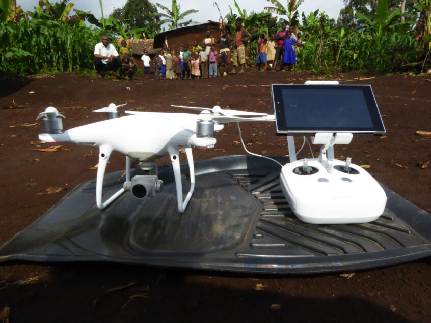
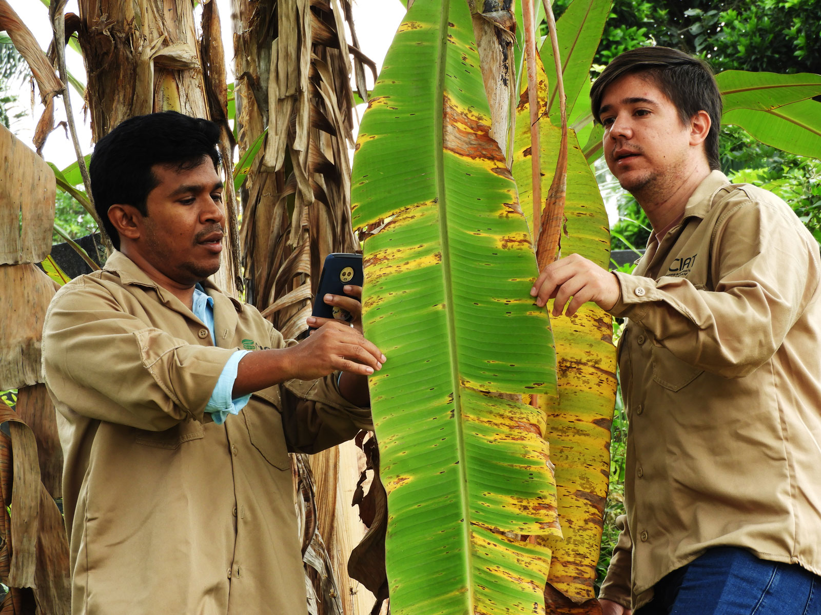
The Alliance of Bioversity and CIAT is using drone imaging in combination with open-source satellite images to identify bananas in mixed crop landscapes in eastern Democratic Republic of Congo and in southern Benin. Once banana plants are identified, researchers use advanced algorithms and machine learning to distinguish healthy plants from those affected by BXW (banana Xanthomonas wilt) or BBTD (banana bunchy top disease) with over 90% accuracy. Future research is needed to better distinguish BXW from Fusarium wilt and other health problems that turn leaves yellow. The Tumaini AI-powered smartphone app can be used to ground-truth these aerial diagnoses, allowing researchers to develop and further improve machine-learning models to detect banana diseases early, and prevent outbreaks.

SHARE THIS